
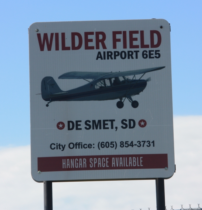
Wilder Field is located 2 1/2 miles north of De Smet on Highway 25.
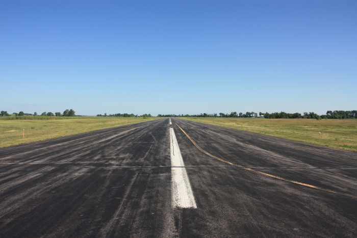
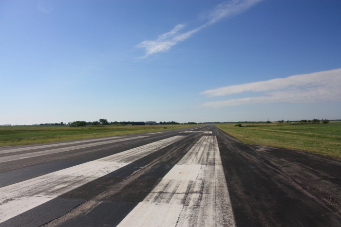
Dimensions: 3700 x 60 feet (1128 x 18 meters)
Surface: asphalt (in good condition)
Weight bearing capacity: Single wheel 12.5
Runway edge lights: Medium Intensity
Runway 15
Elevation: 1728.5 feet
Latitude: 44-26.268478N
Longitude: 097-33.638640W
Gradient: 0.1
Traffic pattern: left
Markings: non-precision in good condition
Glide Slope: P2L (3.00 degrees glide path)
Touchdown point: yes, no lights
Runway 33
Elevation: 1730.1 feet
Latitude: 44-25.698005N
Longitude: 097-33.341718W
Gradient: 0.1
Traffic pattern: left
Markings: non-precision in good condition
Glide Slope: P2L (3.00 degrees glide path)
Touchdown point: yes, no lights
For more information on Hanger space and availability, please call the City of De Smet at 605-854-3731.
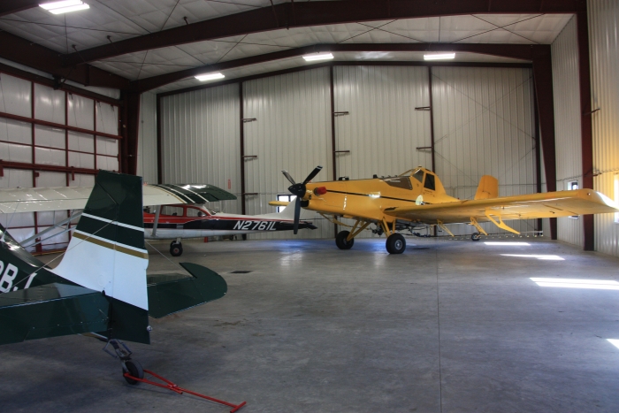
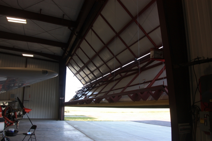
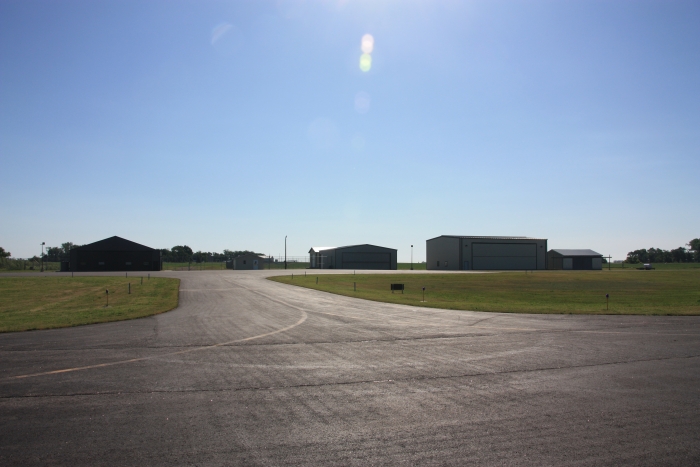
Wilder Field Pictures:
While we try to maintain accurate information on this website, please call to verify all details.
Runway Information last updated May 2016


Surplus property
Posted on 07-23-2026
Restricted Use Site Open
07-28-2026
Restricted Use Site Open
08-01-2026
Restricted Use Site Open
08-04-2026
July 8, 2026 Reg. Mtg. Minutes (PDF)
June 8, 2026 Reg. Mtg. Minutes (PDF)
View MoreJuly 8, 2026 Reg. Meeting Agenda (PDF)
City of De Smet Job Application (PDF)
Swimming Pool Waiver (PDF)
Event Center Roller Skating Waiver (PDF)
Copyright © 2015-2026 City of De Smet, SD & it's licensors.